Precision Tools for Master Anglers:
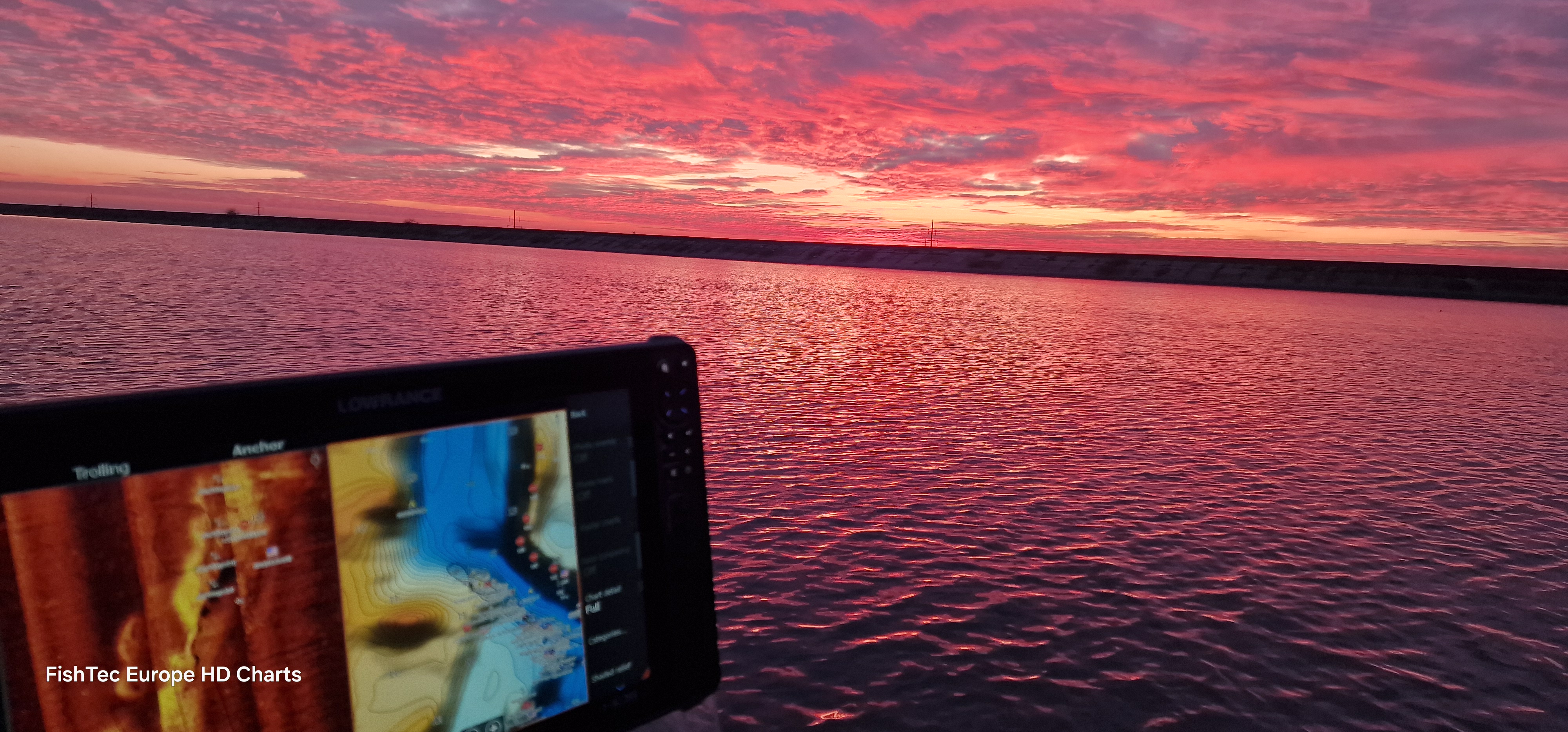
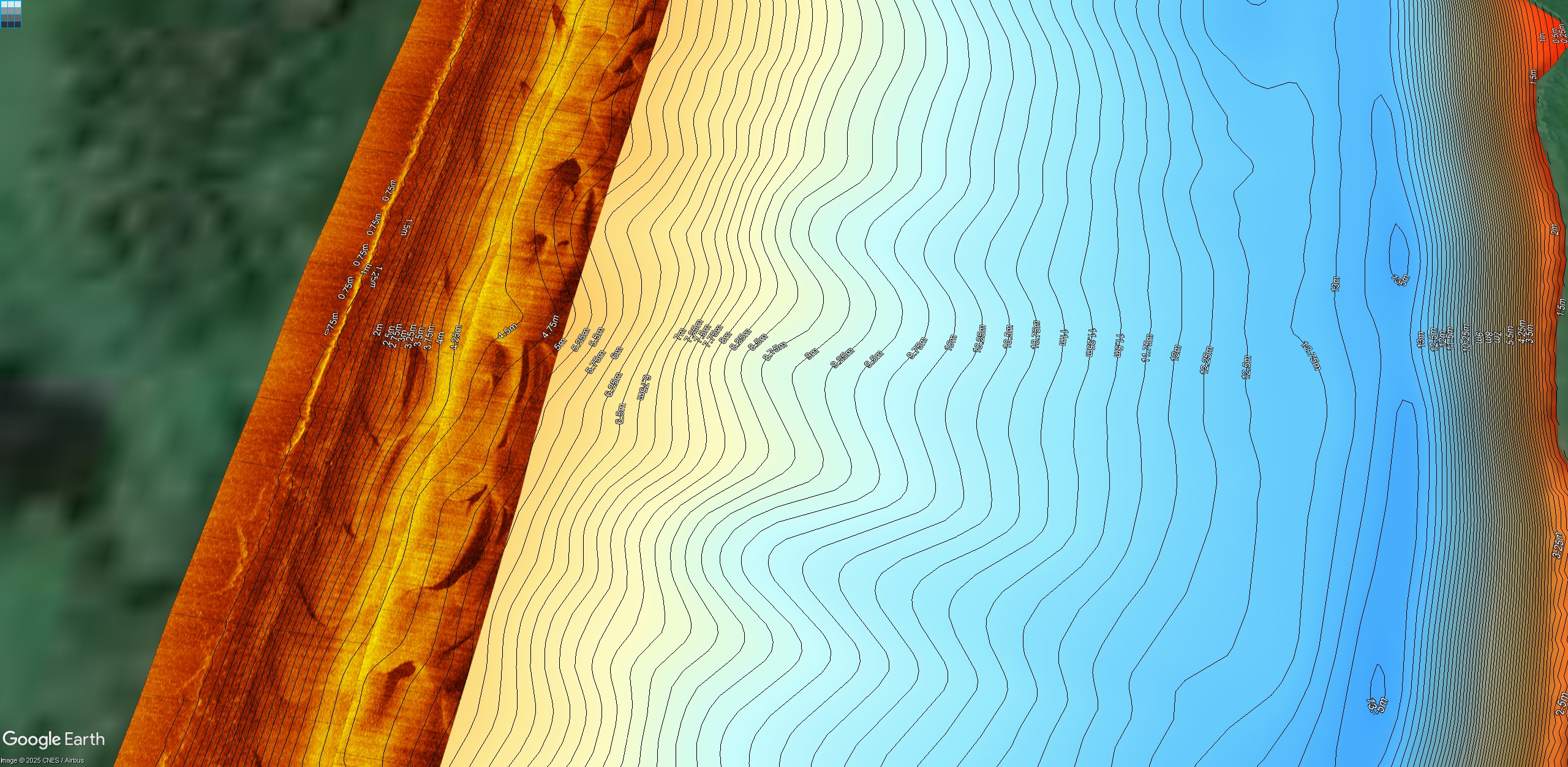
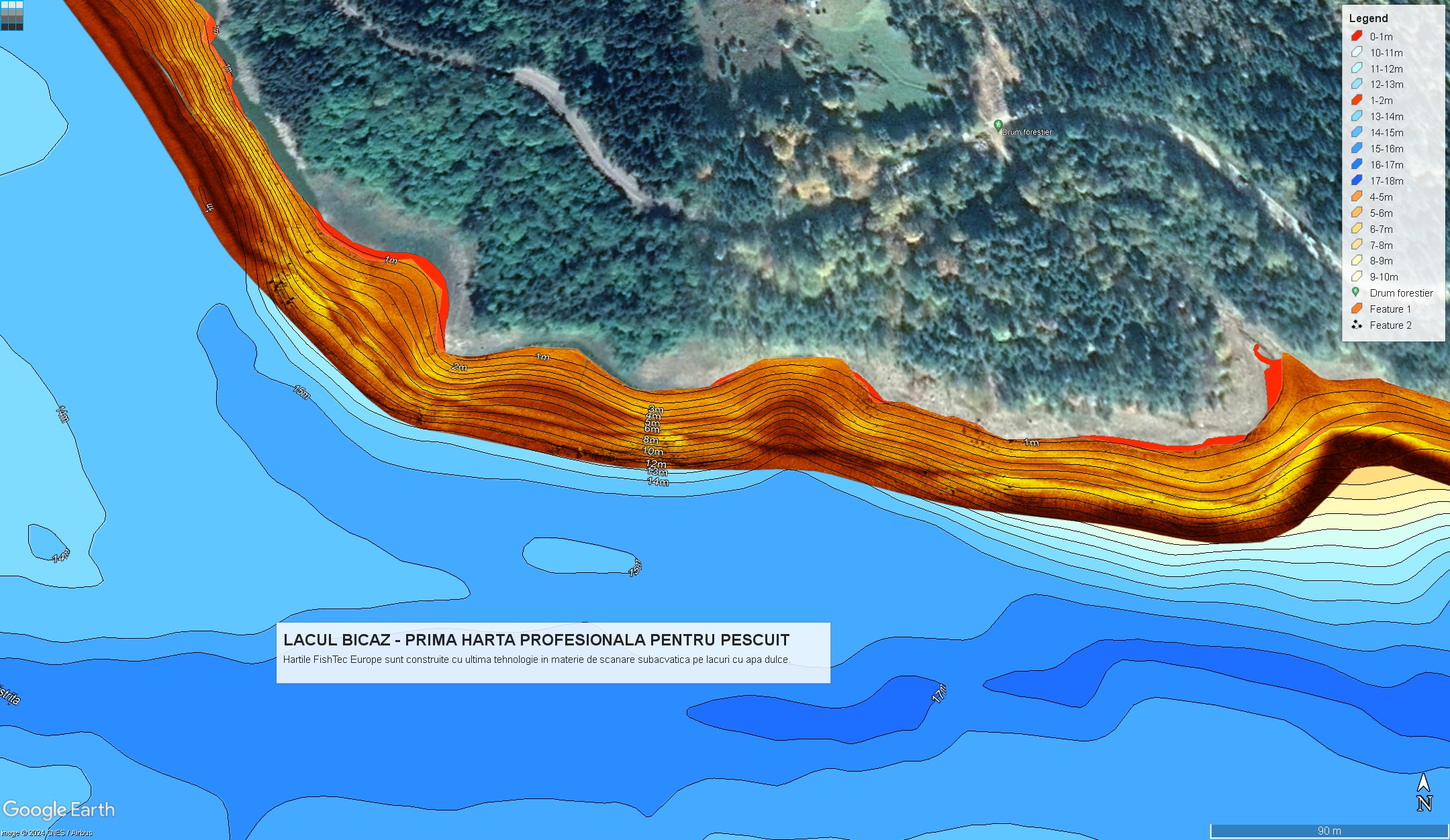
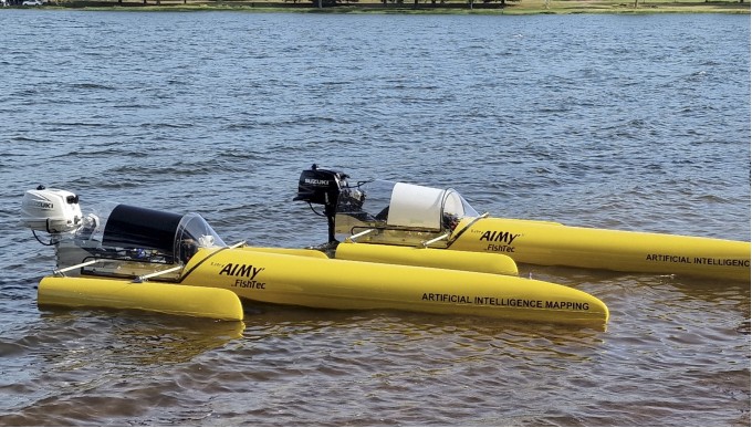
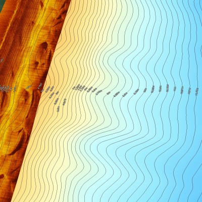
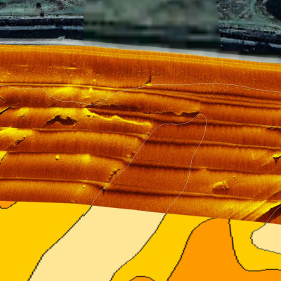
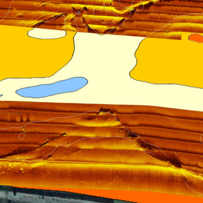
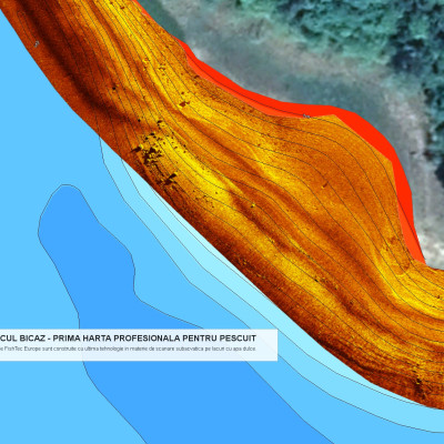
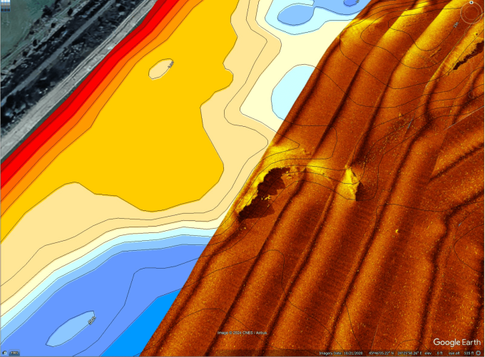
FishTec's arsenal includes Aerial HD mapping, Elevation 3D using cutting-edge LiDAR tech, UltraHF Mosaic from our advanced AIMy hydrones, and an extensive collection of geo-tagged panoramic photos. All designed to give you the upper hand in every fishing adventure.
Elevating European Fishing
Our vision? To equip European anglers with these elite, high-definition charts, sharpening their skills and intensifying their fishing experience.Discover Your Fishing Potential
Crafting Unforgettable Fishing Tales
At FishTec Europe, we don’t just map waters; we narrate their stories. Our high-quality charts offer a vivid, detailed journey through Europe's beloved fishing spots, transforming your fishing escapades into epic tales of pursuit.Most popular products
FREQUENT QUESTIONS
The FishTec Europe Signature:
Passionate Precision: Angler-crafted charts, resonating with the fishing community's heartbeat.
Immersive Detail: Our charts are more than maps; they're underwater odysseys, offering a prelude to your fishing saga.
Community-Centric: We’re a fellowship of fishing enthusiasts, weaving our charts with the rich tapestry of our collective experiences.

